Emmanuel’s Common Phase 2
Here are a few pictures of the second phase of our Emmanuel’s Common project in Norfolk (overall project control and funding Norfolk Rivers IDB, designer myself, contractor for installation Five Rivers).
Just under two years ago we took the River Nar out of an old mill leat and reunited it with about 500 meters of relic meander that had been left, unfilled and unploughed, on the flood-plain. Over an additional 250 meters of that project, we created a replica ‘paleo’ channel based on the cross sections of the natural meander pattern upstream. I wrote all about that project here.

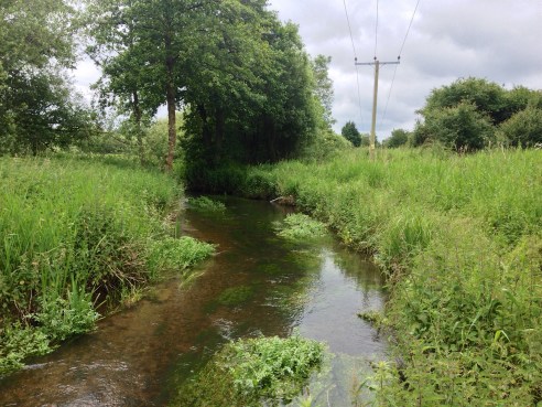
The uncovered natural channel from Phase 1.
This last three weeks we have been working on the second phase. The first 125 meters formed a continuation of that replica channel, alongside the old channel. In the lower 250 we re-filled the existing river with gravel (dug on site) up to the correct line of bed-level slope. The bed level was set to coincide with the river bed as I had set it at the tail of the first phase and two more undredged crests of gravel downstream.
In one spot half-way down some where power lines crossed the channel we had a useful reference section because no dredger had ever gone near it. Interestingly this was the one section of the river that never blocked with weeds. For 50 meters we had clear gravel and patches of starwort, ranunculus etc.. Upstream and downstream were an unbroken jungle of burr reed. Proof if ever it were needed that dredging does the exact opposite of what you think it is going to do!
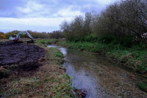
Under the power lines: never dredged and therefore an open, free-flowing channel.

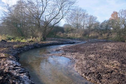
The same place but looking upstream at a dredged reach.
So the new channel came back in to the old just upstream of the undredged natural reach. Beyond the natural reach we brought the channel back up to the natural bed-level by filling in with about 30 to 40 (50 in places) cm of gravel which we took from borrow pits on the flood plain. We took the project down as far as a second undredged crest of natural bed level. I’ll post more pictures in a year’s time.

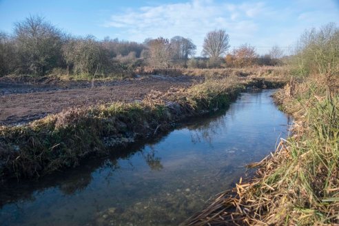
This reach required 30cm of infill.
The same reach looking downstream.
Replica ‘paleo’ channel.
This reach was severely dredged and required 50 cm of infill.

Leave a comment